Sea Breeze Storms Generate Heavy Inland Downpouts
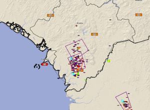
19 May 2014, 1730 UTC: A steady sea breeze caused thunderstorms to build across eastern Guinea this afternoon bringing rumbles of thunder to much of the region. The storms developed along the hills northeast of the coast near Forecariah, Fria and Boke.

The heaviest storms formed north and east of Boke and near Forecariah.

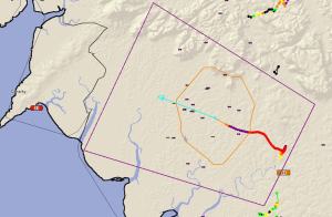
The storms were very slow moving, dropping between 25 and 50 mm of rainfall over their lifespan. The heaviest rainfall estimated by PulseRad was a very strong storm near Forecariah. Lightning rates exceeded 50 flashes per minute, as detected by the Guinea Total Lighting Network, for nearly 30 minutes as the storm drifted slowly NW toward Conakry. Rainfall estimates topped out over 100mm just north of the city.

Rainfall estimates on PulseRad show the typical sea breeze rainfall accumulations – storms develop from 30 to 80 km from the coast and rarely drift to the coast, dropping most of the rainfall on the hills that are inland from the coastal plain.


